AfriGEO
AfriGEO is an initiative of the African community in GEO aimed at providing a coordination framework and platform for Africa's participation in GEO. In addition, it is a:

- Pan African initiative to raise awareness and develop capacity on EO for governments, research organizations and the commercial sector;
- Framework for strengthening partnerships and collaborations within Africa;
- Gateway into Africa for international partners; and
- Support mechanism for the implementation of GEO objectives and programmes in Africa
The AfriGEO Secretariat, through a resolution of the 2018 Steering Committee meeting held in Gabon, was moved to the Regional Centre for mapping of Resources for Development (RCMRD) based in Nairobi, Kenya from Geneva where it had been hosted since its inception.
The AfriGEO Objectives are to:
- Strengthen connection with the current GEO Principals in national government agencies in Africa, participating organizations and enlarge the GEO partnership in the Regional Economic Communities (RECs): ECOWAS (Economic Community of West African States), AMU( Arab Maghreb Union) , COMESA (Common Marker for Eastern and Southern Africa), CENSAD (Community for Sahel Saharan States) , EAC (East African Community), ECCAS (Economic Community for Central African States), IGAD (Intergovernmental Authority on Development), SADC(Southern African Development Community) and with the African Union;
- Increase uptake of EO in Africa through the promotion of long-term Human Capital Development programmes;
- Facilitate and drive programmes towards achieving the Global, RECs and Africa wide goals and objectives i.e., AU Agenda 2063, 2030 Agenda for Sustainable Development, the Sendai Framework for Disaster Risk Reduction and the Paris Climate Agreement;
- Support international collaboration by connecting national and regional institutions and programmes with GEO and Regional GEOs;
- Foster creation of synergies to reduce duplication of efforts across Africa;
- Liaise with the GEO secretariat to ensure synergic and streamlined operations;
- Advocate for the uptake of EO in decision making and raise awareness on benefits of Earth observations for the continent;
- Develop a strategy of access and dissemination of Earth observation data and information throughout Africa and
- Ensure communication, outreach, awareness, user engagement, and mobilization of resources.
6th AfriGEO Symposium
AfriGEO symposiums are held annually since 2016. They provide an opportunity for the AfriGEO Community to engage, connect and build meaningful areas of collaborations that support addression of varied development challenges on the continent using earth observation.
The 6th AfriGEO symposium is privileged to take place during the 18th GEO week as side events. It also has the privilege that the 18th GEO Week is being hosted on the continent, in Accra, Ghana. The AfriGEO Secretariat plans to have 6 sessions focused on AfriGEO’s priority topics: Climate Change, Disaster Risk Reduction, Agriculture and Food Security, Disaster Risk, Sustainable Water Resource Management, Sustainable Forest Management, Health, Sustainable Urban Development (Session 2), Land Cover/ Land Degradation Neutrality (Session 5) and Data Infrastructure (Session 6). The 6 sessions shall be able to demonstrate actions that the continent is taking towards building sustainable and resilient: systems, communities and resources using case studies that are scalable, methods that are reliable and systems that are exemplars of working models that the continent needs to adopt, while addressing gaps and what needs to be done to strengthen these gaps.
Programme
|
Wednesday 2nd Nov – Thursday 3rd Nov, 2022 |
|
|
09:00-17:30 |
|
|
Friday 4th Nov – Saturday 5th Nov, 2022 |
|
|
9:00-16:30 |
Training: Monitoring and Early Warning for Floods |
Guest Speakers

Dr. Robinson Mugo
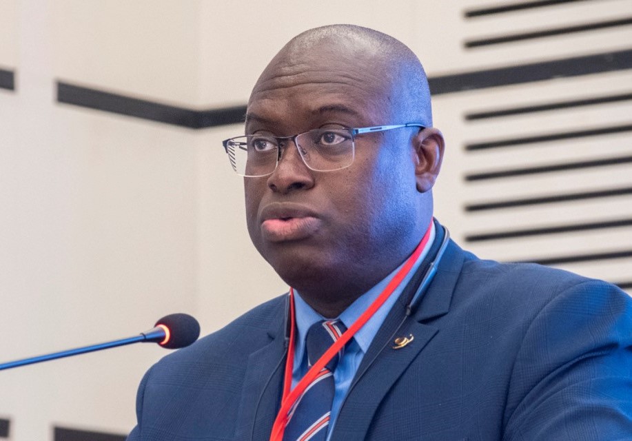
Dr. Tidiane Ouattara

Prof. Elvis Asare Bediako
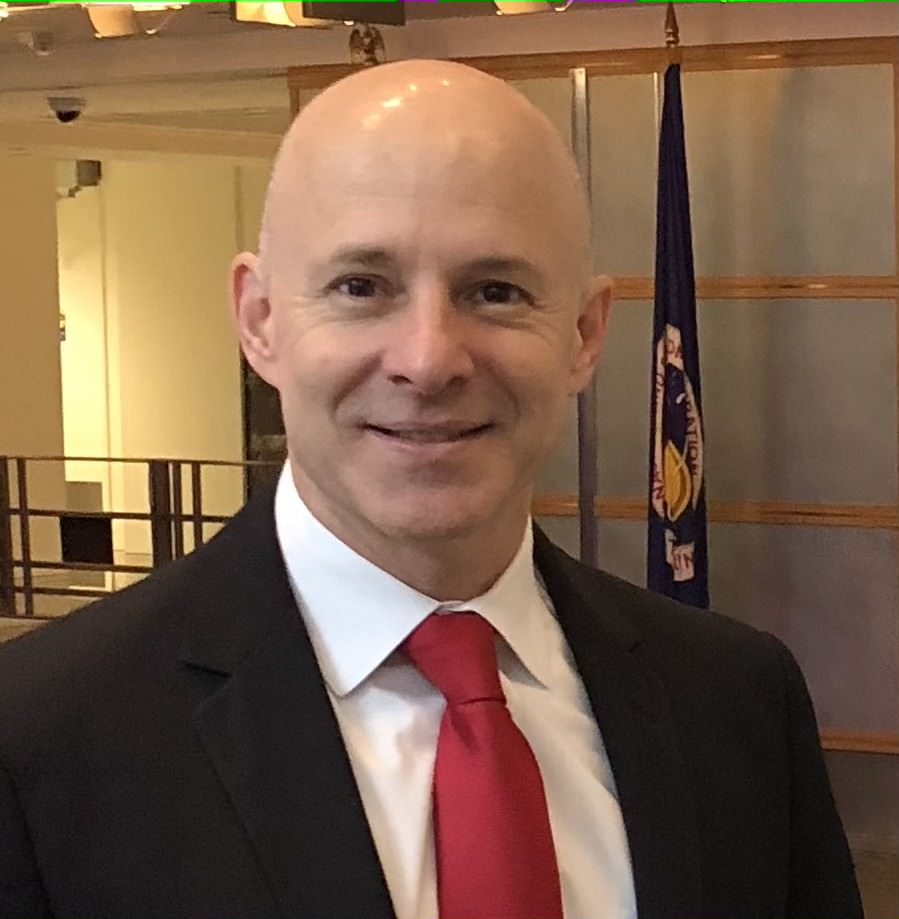
Dr. Dan Irwin

Dr. Mmboneni Muofhe

Yana Gevorgyan

Ronda Zelezny-Green
Presenters

Nzue Mba Armel

Zviko Mudimu

Prof Amos Kabo-Bah

Dr. Antar Jutla
Dr. Benson Kenduiywo
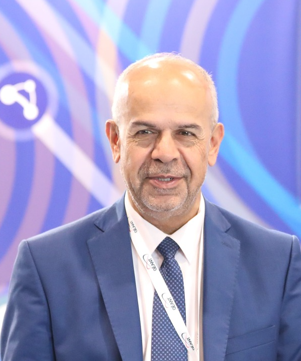
Yousef Torman
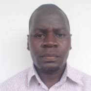
Calvince Wara
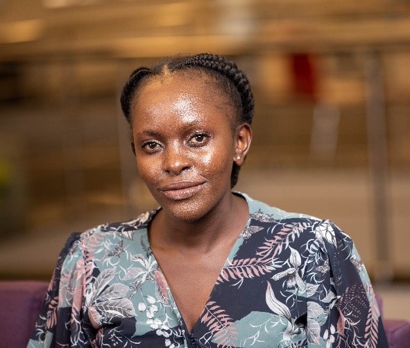
Pauline Okeyo

Dr. Henry Nii Nmai Bulley

Dr. Carl Malings

Steve Peedell

Qudus Olatunji Taiwo

Catherine Nabukulu
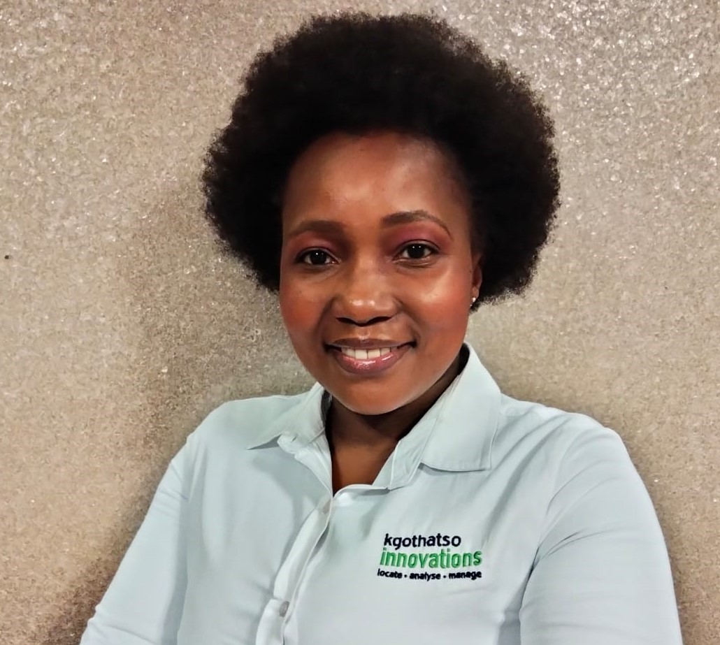
Ms. Ndilisa Didiza

Dr. K. Emma Knowland

Juniet Kgaphola

Galaletsang Keebine

Dr. Nils Hempelmann

Dr Lynwill G Martin

Dr. Matthew Olumide ADEPOJU
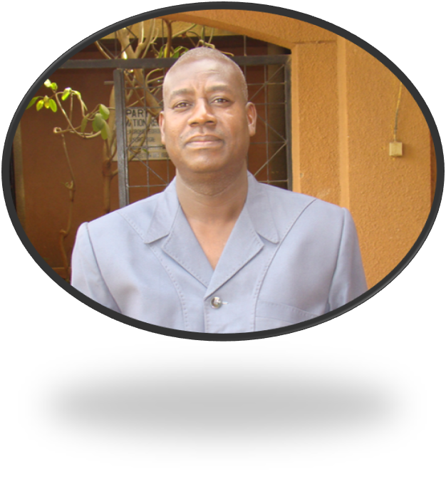
Bako Mamane
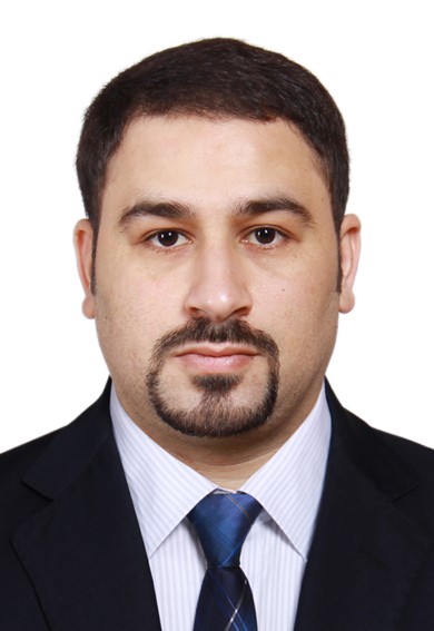
Belabid Nasreddine
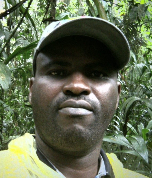
Adeniran Akanni

David Luswata
Event Schedules
Opening Session
Session 1: Building Resilient and Sustainable Systems ▲
This session shall be looking at sustainable systems related to strengthening regional and national capacities either through programs created to address development challenges or brokering access to requisite regional data and mechanisms that strengthen dialogue and collaboration while looking at systems existing and those in the pipeline to fulfil the Africa space policy and strategy and the agenda 2063.
Objectives
- Showcase existing regional programs that have created sustainable systems
- Showcase the value of strengthening national GEO’s in contributing to the regional GEO’s and EO agenda
- Articulating the value of diaspora collaboration
- Roadmap of the region in addressing and implementing challenges faced by the space sector in Africa
Outcomes
- Strengthened understanding of what different players are doing
- Synergistic opportunities identified
- Increased avenue of partnership and collaboration
- Increased value of strengthening engagement of GEO at national level
Tea Break
Session 2: Building Resilient and Sustainable Communities▲
This session shall be looking at measures that have been taken using EO to empower communities to be more resilient to the impacts of climate change, and the contributions made by several stakeholders towards building resilient and sustainable communities.
Objectives
- EO being utilization to support communities in addressing the environmental and climate risks they are exposed to
- Early warning early action use cases
- Community engagement in data collection process
- EO utilization to strengthen community resilience by protecting lives and property
Outcomes
- Lessons learnt in building Resilient Communities
- Early warning early action preparedness strategies
- Investment in EO or building community resilience
Lunch Break
Session 3: Sustainable Urban Development▲
This session shall look at EO tools available to better map urban growth, plan for urban development and support suitable provision and access to resources. At the same time look at case studies that respond to threats within Urban developments that can be supported using EO solutions.
Objectives
- EO’s role in monitoring Urban Growth and ecological performance
- EO’s role in addressing environmental challenges and climate related risks in Urban address
- EO’s role in building sustainable cities that are environmentally stable
Outcomes
- Scalable use cases that can be replicated in other regions
- Adoptions of existing tools, data and methods
- Contribution to SDG indicators related to urban areas
- General well being of populations living in urban areas
Tea Break
Roadmap to a post-2025 strategy for GEO ▲
This topic is led by the Post 2025 Working Group to address feedback that needs to be included in the GEO Post-2025 that is currently being developed. The session is welcome for all.
Objectives
- Regional Feedback for the strategy document: what is missing, what needs to be considered
Outcomes
- Improved post 2025 Strategy document for GEO that includes AfriGEO community insights
Session 4: Enhancing Resilience and Sustainability of Resources▲
This session shall look at EO contributions to better manage, measure and monitor natural resources so that they can be used sustainably, in a way that guarantees protection for future generations.
Objectives
- EO’s role in Natural Resource measurement, monitoring and management of resources and hotspots
- EO’s role to inform better in situ data collection
- EO’s role in strengthening decision making process related to policy formulation and resource management
- EO use in prediction of future resource availability
Outcomes
- Regional and national contributions being made in supporting the Minamata Convention on Mercury that Parties implement to reduce the risk for human health and the environment
- Sustainable resource use, management and protection
- Scalable solutions in resource planning, use and management
Tea Break
Launches ▲
Africa Data Capacity Accelerator for Climate & Health by Global Partnership for Sustainable Development Data (GPSDD) and data.org's Capacity Accelerator Network (30 Minutes)
This is an initiative of GPSDD and Data.org. The main objective is to democratize data skills and invest in social impact organizations’ capacity to be data-driven. The Capacity Accelerator Network will work to increase skills and support organizations, enabling them to unlock the power of data to meet their missions.
SERVIR West Africa Phase 2 (1 hour)
The SERVIR west Africa Team shall be launching the 2nd of their program, The session is open for all to participate.
Objectives of the Launches
- Awareness creations of new pipeline programs that shall be implemented to support capacity development and address varied development challenges
Outcome of the Launches
- Opportunities for engagement and collaboration in the countries of operation
- Shared lessons in addressing developmental challenges within the WA region
Lunch Break
Session 5: LDN and Land Cover▲
LC and LDN data are critical to monitoring, planning, productivity and measurements in multiple sectors. This session shall look at data availability, appropriateness of available data, gaps and several use cases of available data.
Objectives
- EO roles in supporting land degradation neutrality
- Identifying gaps and opportunities that existing in LDN
Outcomes
- Better understanding on role of EO in supporting LDN targets
- Linkages in existing solutions that can be adopted identified
- Sectoral synergies in LDN at national and regional level identified
- Opportunities for engagement and collaboration identified
Tea Break
Session 6: Data and Infrastructure▲
This session shall look at existing infrastructure, barriers to data sharing, best case scenarios of data access, and where we need to be going as Africa.
Objectives
- Existing data infrastructure at national and regional challenges
- Existing data access and data sharing mechanisms
- Role of data in addressing several development challenges
- Data connectivity and Accessibility challenges
Outcomes
- Data democratization
- Data access and sharing policies and frameworks
- Increased discoverability of existing EO content and connecting the geospatial community.
Closing Session and Vote of Thanks
Steering Committee Meeting(Closed) ▲
This shall be a closed meeting for the Steering committee for the AfriGEO initiative. Invitation to this meeting shall be sent by the caucus chair.
